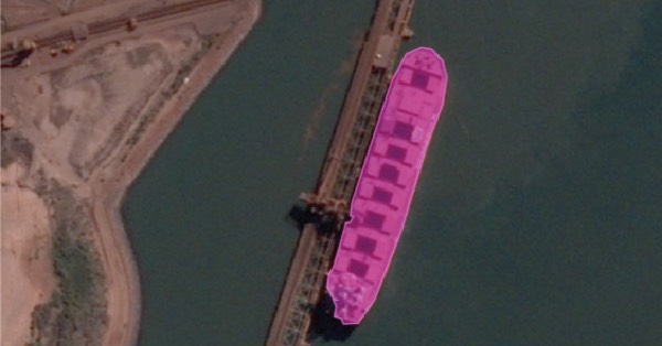
Skytec users now have easy, on-demand tasking access to BlackSky’s hourly, high resolution satellite imagery for natural resource management
BlackSky Technology has partnered with remote sensing, drone, and Geographic Information System (GIS) monitoring company Skytec to integrate on-demand imagery tasking into the Skytec’s Ranger™ monitoring platform through Esri ArcGIS Online.
“BlackSky’s dynamic imagery products enable new levels of insight for Skytec customers at unprecedented speed and efficiency,” said BlackSky Chief Commercial Officer Amy Minnick. “With on-demand tasking access to BlackSky’s constellation, customers can incorporate hourly, dawn-to-dusk image products directly into their current workflows and experience the value of real-time geospatial intelligence firsthand.”
“The ease of tasking, speed to image delivery, and seamless API integration through ArcGIS Online have translated into unparalleled efficiency for Skytec Ranger™ users,” said Skytec Chief Technology Officer Andrew Carroll. “Our subscribers can task and incorporate BlackSky’s electro-optical imagery data and combine those with Unmanned Aerial System (UAS) data within their existing GIS software ecosystem.”
Skytec clients span across the consumer-packaged goods, utilities, natural resource management, and financial services industries, and work initiatives to monitor environmental, social and governance investments and to support corporate sustainability programs with data.
BlackSky and Skytec are silver partners in the Esri Partner Network.


