Vantor rebrands from Maxar Intelligence, unveils AI-Powered Platform


Reflects the company’s evolution into an end-to-end spatial intelligence mission partner as demand surges across defense, intelligence, and commercial sectors
Vantor has rebranded from Maxar Intelligence and unveiled Tensorglobe, an AI-powered spatial intelligence platform. The rebrand represents the culmination of the company’s multi-year journey to productize its core operational technology and transform from a satellite imagery provider into an end-to-end spatial intelligence company.
The name Vantor speaks to how the company unlocks a real-time competitive advantage by delivering total clarity for missions across the space, air, and ground domains, ending the era of disconnected sensor platforms. Vantor is solving the most critical challenges across the defense and commercial sectors, including the urgent need for more advanced battlespace systems and the push to unleash autonomy across every industry.
The company addresses these challenges with multi-domain spatial intelligence solutions that integrate sensor data across satellites, drones, and ground-based assets to improve decision-making and drive autonomous operations at scale. Over the past six months, Vantor has launched several AI-enabled solutions, including:
- Raptor: A software suite that integrates Vantor’s unmatched 3D terrain data with a drone’s native camera to ensure that autonomous platforms can navigate effectively and extract target ground coordinates accurately in the absence of GPS.
- Sentry: A global-scale persistent site monitoring solution that can identify operational threats across hundreds of areas at once by integrating automated collection planning across multiple satellite constellations, including sovereign assets, with AI-driven data fusion and analytics.
- Tensorglobe: An end-to-end platform that empowers organizations to build their own spatial intelligence system. Tensorglobe fuses sensor data from space, air, and ground to create a living 3D globe, automating the intelligence cycle to keep this unified foundation up to date.
“Our business has celebrated significant milestones over the past two years—we launched six next-gen imaging satellites, introduced multiple first-of-a-kind spatial intelligence products, and signed partnerships with companies that are shaping the future of mixed reality and battlefield autonomy,” said Vantor CEO Dan Smoot. “Vantor represents a company transformed. We’re not just a satellite imagery provider. We’re delivering end-to-end solutions capable of connecting sensor data from every domain, providing a unified intelligence picture that they can turn into a competitive advantage.”
Vantor has recently partnered with leading innovators across the defense and commercial sectors to jointly build integrated intelligence solutions. Vantor is delivering the foundational spatial intelligence for Anduril’s next-gen mixed reality combat system designed for the U.S. Army’s Soldier Borne Mission Command Architecture (SBMC-A) program and signed partnerships with Saab and Taiwan’s AIDC to integrate Raptor into mission-ready systems designed for contested environments.
“We’re witnessing a fundamental shift in how governments and businesses need to understand and interact with the physical world,” said Dan Smoot, CEO of Vantor. “Delivering static satellite imagery and analytics through siloed web portals is no longer sufficient. Our customers need real-time intelligence about the world flowing directly into their systems to ensure that autonomous platforms can effectively navigate in the air and the ground, military units gain full command and control of the battlespace, and businesses effectively track critical assets in real time.”
Introducing Tensorglobe, Vantor’s spatial intelligence platform
As organizations race to deploy autonomous systems—for everything from the digital battlespace and global-scale site monitoring to automated mapmaking and disaster response—they are inundated by massive volumes of data coming from disconnected sensors across every domain. This data is often siloed, forcing customers to manually stitch it together before making sense of it all, delaying decision making and driving up costs.
To solve this challenge, Vantor has unveiled Tensorglobe™, an end-to-end spatial intelligence platform.
“Our customers aren’t relying on intelligence from a single source—they are investing in data and sensor systems from many partners, and they need all these capabilities to work together,” said Peter Wilczynski, Chief Product Officer at Vantor. “The accuracy and global scale of our spatial foundation, combined with our fusion and production software, is a critical differentiator. We give customers the power to integrate raw pixels from any sensor into an AI-ready living globe that can connect every human and machine to the same ground truth.”
Built on the same technology that powers Vantor’s own operations, Tensorglobe enables customers to collect and fuse spatial data with Vantor’s foundation to create a living 3D replica of Earth capable of extracting coordinates with 1-meter accuracy. The platform’s three core elements—Cortex™ for automated satellite constellation orchestration, Forge™ for real-time sensor fusion, and Nexus™ for highly secure hosting and analytics—drive automation across the intelligence cycle to update and analyze a digital twin of the globe at the pace of change.
Tensorglobe capabilities have been deployed with U.S. government, international government, and commercial customers, including in classified settings. Vantor software products power:
- The U.S. government’s GEGD program, which delivers geospatial intelligence to more than 400,000 government users.
- The U.S. Army’s One World Terrain program, which provides ultra-realistic 3D digital representations of the real world for mission planning, simulation, and training.
- Automated tasking, data fusion, and AI-powered analytics workflows to support global-scale persistent site monitoring for initiatives like the U.S. government’s Luno program.
Tensorglobe also powers the Vantor Hub, a cloud-based environment that provides on-demand access to Vantor’s own spatial intelligence. Vantor’s other products include WorldView™ satellite tasking, 2D and 3D Vivid™ basemaps, and tailored mission solutions such as Raptor™ and Sentry™.
To learn more about Vantor and its product portfolio, visit www.vantor.com.
Source: BUSINESS WIRE


Related News.

Register Now for the 2nd Northern European Crewing Conference in Hamburg – 22 September 2026
“Crewing 5.0: Bridging the Gap Between Digital Efficiency and Human Reliability” REGISTER HERE Date: 22 September 2026 Time: 09:00-15:00 Venue: Hotel…

Island Oil Group Highlights People, Governance and Sustainability Progress in 2025 ESG Report
Island Oil Group has released its 2025 ESG Report, presenting the Group’s latest progress across environmental, social and governance priorities and…

Clean Shipping Alliance and Marine Fuels Alliance sign MoU to advance emissions compliance and fleet decarbonisation
The Clean Shipping Alliance and the Marine Fuels Alliance have signed a Memorandum of Understanding to support the shipping industry and bunker…

A.P. Moller Holding finalises acquisition of Ocean Yield
The major acquisition of Ocean Yield by A.P. Moller Holding has been successfully concluded. Following the initial agreement announced on 2 July…

Danish Shipping warmly welcomes EU proposal to include Indian ship recycling facilities on EU list
The European Commission has proposed adding two Indian ship recycling facilities in Alang to the European List of approved ship recycling…
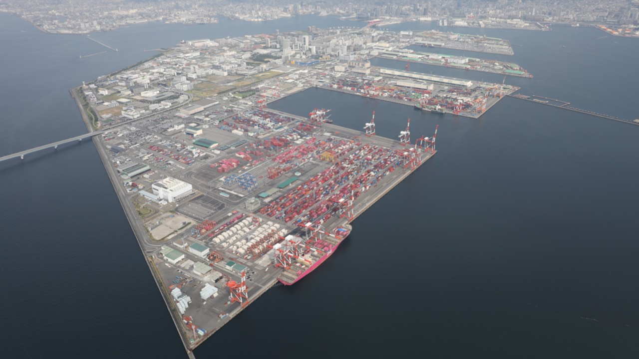
“K” LINE announces Commencement of Operations at Port of Kobe Container Terminals PC14-17
Kawasaki Kisen Kaisha, announces it will commence operations at container terminals PC14-17 on the southern pier of the Port Island) area of the…

Intermodal Report Week 33 2026
Pls find below the Intermodal Report - Week 33 2026 Intermodal Report Week 33 2026
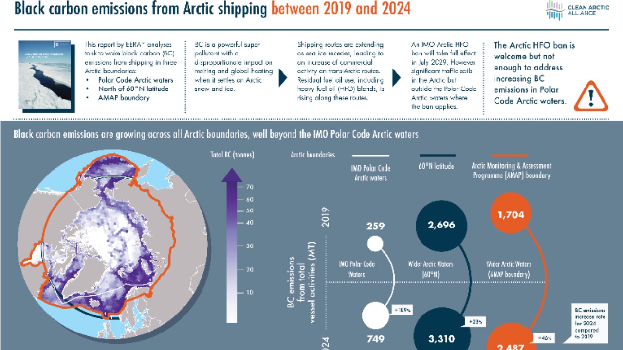
Clean Arctic Alliance reacts to ships sailing from Asia to Europe via Arctic Route
Responding to reports that the Liberian-flagged container vessel Dubai Tower has departed the Chinese port city of Ningbo in an attempt to cross the…

Mental Health Support Solutions expands support for Filipino seafarers with digital communication hygiene programme for families
As shipping has become more connected than ever before, Mental Health Support Solutions , member of OneCare Group, is helping Filipino seafarers and…

NorthStandard joins the SSI as a member with a focus on the SSI’s Human Risk and Resilience platform
The Sustainable Shipping Initiative announced that NorthStandard, one of the world's leading marine insurers and a leading member of the…
Subscribe to our newsletter!
if you dont want to swim alone in the ocean of news, sign up for the newsletter, and you will receive daily all the important news of world shipping!
