Colorado firm TCarta Marine provides High-Tech solution to ship groundings in coastal waters

Multiple recent incidents in which naval and commercial vessels ran aground have highlighted the dangers of maritime operations in shallow or poorly charted coastal waters. TCarta Marine of Denver offers a cost-effective, environmentally safe solution using Earth observation satellites to derive accurate water depth measurements in near-shore areas.
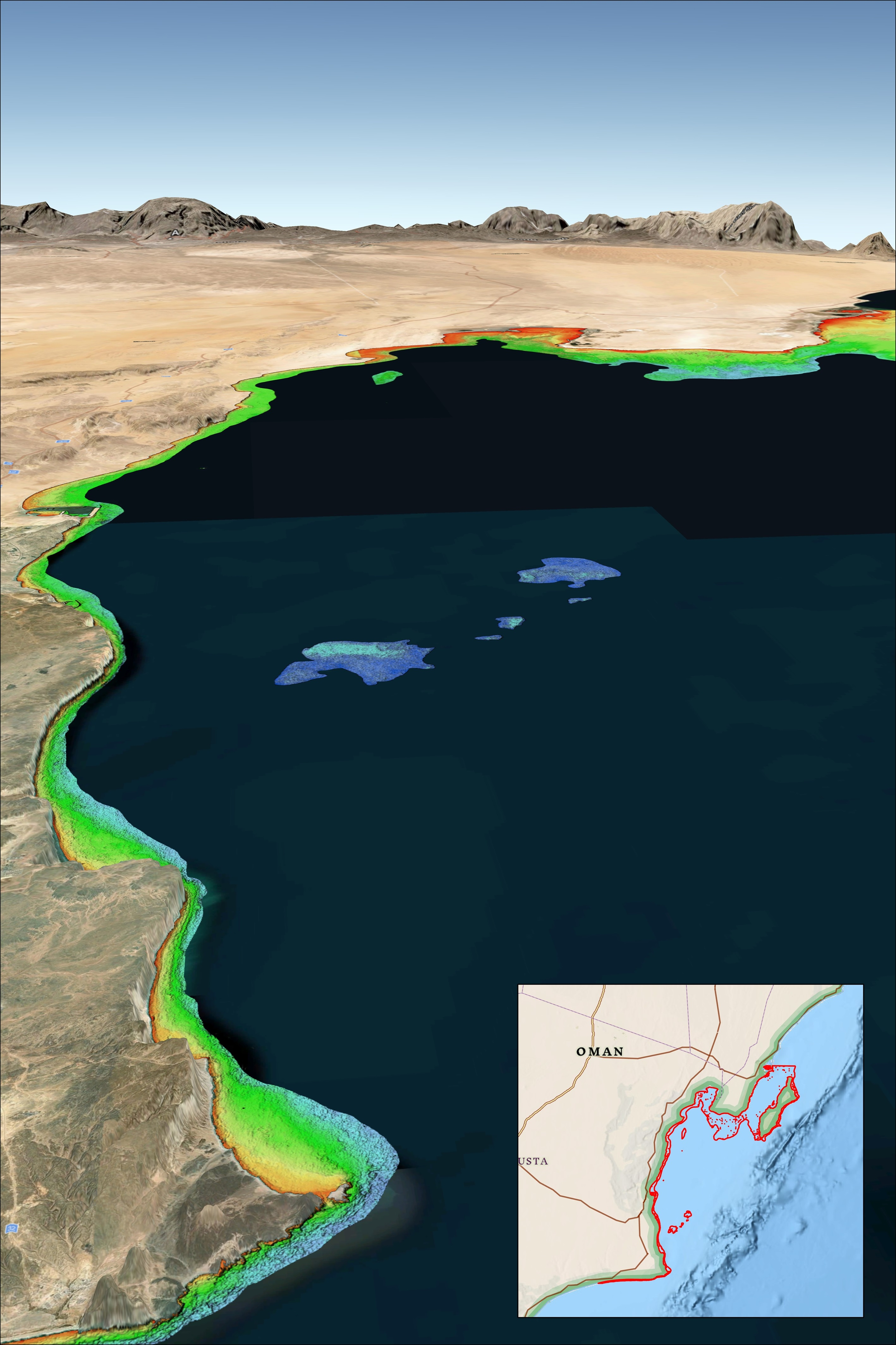
“While the exact causes of recent ship groundings off the coasts of Oman, Greenland, and Fiji are under investigation and often complex, the risk of such accidents can be significantly reduced with up-to-date bathymetric data produced from satellite imagery,” said TCarta President Kyle Goodrich. “Often in coastal areas, the regions outside commercial shipping lanes are poorly charted or not surveyed.”
Unfortunately, the collection of high-quality water depth measurements in shallow coastal areas – where they are needed the most – has traditionally been expensive and dangerous to acquire with ships or aircraft, especially in remote or contested regions, Goodrich said. And the risk of groundings is only growing as military vessels and eco-tourism charters increasingly operate in unfamiliar and inadequately mapped coastal zones.
For over 10 years, TCarta has been supplying marine charting organizations with water depth data using a technique called Satellite Derived Bathymetry (SDB). SDB applies physics-based computer algorithms to optical imagery captured by commercial remote sensing satellites. This analysis detects and measures light reflecting off the seafloor to calculate water depth. Depending on water clarity, SDB is routinely accurate to depths of 20 to 30 meters.
“In addition to posing no danger to personnel, equipment, or coastal environments, satellites are more cost effective than ship-borne sonar or airborne laser scanning because they acquire image data over large regions in seconds,” said Goodrich. “And because satellites orbit without geographic restrictions, data can be collected for areas otherwise off limits to vessels or aircraft.”
TCarta has mapped nearly one third of the world’s coastlines with SDB and offers products in custom and off-the-shelf versions. Custom SDB data sets are typically generated using high-resolution satellite imagery capable of resolving seafloor objects, such as shoals and reefs, with one-meter resolution.
The off-the-shelf bathymetry product Global Satellite Derived Bathymetry (G-SDB) offers 10-meter detail and is ideal for identifying coastal shoals in remote areas that don’t appear on nautical charts. Large-area contiguous G-SDB products are immediately available for more than a dozen critical locations, including:
- South China Sea
- Arabian/Persian Gulf
- Gulf of Oman
- Red Sea
- Black Sea
- Eastern Mediterranean
Government and commercial organizations may order bathymetry products directly from TCarta or through the GSA Schedule.
Source: BUSINESS WIRE


Related News.

Cyprus Marine Club Welcomes a Full House for Aphentrica’s War Risks Presentation
The Cyprus Marine Club marked its return after the summer break with a full house at Gazebo Mare on Tuesday, 22 September, bringing together members,…
IMO seeks feedback on Maritime Single Window implementation
The International Maritime Organization (IMO) has launched a global survey to assess the implementation and use of Maritime Single Windows (MSWs),…
World Maritime Day industry panel to examine the gap between maritime policy and the reality of life at sea
OneCare Group will bring together crewing, safety, insurance and wellbeing specialists for a World Maritime Day webinar examining how shipping can…

IUMI President – Marine insurers are war insurers
Marine insurers are at the heart of managing war risks to global shipping and must continue to develop the tools needed to support and facilitate…
Seafarer welfare is improving amongst leading companies, but five years of evidence shows this progress is far from the norm
Five years on, the Seafarers’ Rights Code of Conduct is driving more than 1,000 companies to participate in RightShip’s Crew Welfare…
The UK ETS arrives for shipping what it means for charterers
Introduction The UK Emissions Trading Scheme (UK ETS) was extended to domestic maritime activity on 1 July 2026, following the EU ETS, FuelEU…
ABP Southampton invests locally with Marine Cranes to boost capability
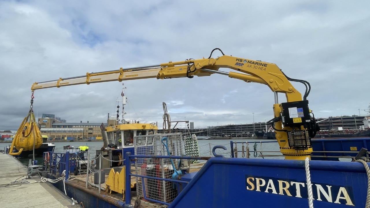
Associated British Ports , the UK’s largest port operator, has invested a new marine deck crane aboard Spartina, one of the Port of Southampton’s…
BIMCO Shipping Number of the Week
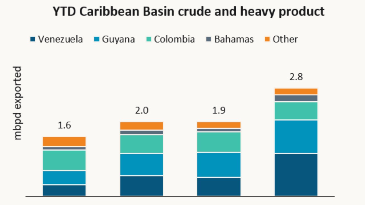
Caribbean Basin crude oil and heavy product exports jump 45% “Seaborne exports of crude oil and heavy products from the Caribbean Basin have…

xclusiv S&P Report 21th September 2026
Pls find below the [xclusiv] S&P Report 21th September 2026 [xclusiv] 2026_09_21
Marine insurance supply remains stable as geopolitical and technical changes reshape the market, says IUMI President
The global marine insurance market remains in a stable position, with premium growth strongly supported by a weak USD in hull and cargo. Meanwhile…
Subscribe to our newsletter!
if you dont want to swim alone in the ocean of news, sign up for the newsletter, and you will receive daily all the important news of world shipping!
